Path through the woods
Introduction
The photograph on this page of Path through the woods by Lairich Rig as part of the Geograph project.
The Geograph project started in 2005 with the aim of publishing, organising and preserving representative images for every square kilometre of Great Britain, Ireland and the Isle of Man.

There are currently over 7.5m images from over 14,400 individuals and you can help contribute to the project by visiting https://www.geograph.org.uk
Path through the woods
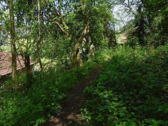
Image: © Lairich Rig Taken: 19 May 2018
See Image for a view in the opposite direction from about the same place. In the present picture, the building seen indistinctly in the left foreground is Montgomery Court (sheltered housing). Directly ahead, at the foot of the slope, but partly hidden by the intervening trees, is a Image
Images are licensed for reuse under creativecommons.org/licenses/by-sa/2.0
Image Location
Latitude
55.857536
Longitude
-4.399957