Shepton Montague village hall
Introduction
The photograph on this page of Shepton Montague village hall by Robin Webster as part of the Geograph project.
The Geograph project started in 2005 with the aim of publishing, organising and preserving representative images for every square kilometre of Great Britain, Ireland and the Isle of Man.

There are currently over 7.5m images from over 14,400 individuals and you can help contribute to the project by visiting https://www.geograph.org.uk
Shepton Montague village hall
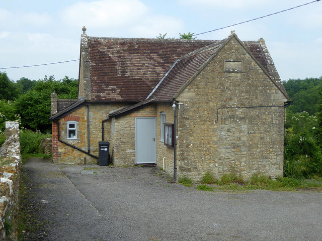
Image: © Robin Webster Taken: 10 Jun 2018
Built as a school in 1846, it closed in 1919 and became the village hall in 1993. What was it in the interim?
Images are licensed for reuse under creativecommons.org/licenses/by-sa/2.0
Image Location
Latitude
51.084
Longitude
-2.455087