Pond near Brackenrigg by Laurencekirk
Introduction
The photograph on this page of Pond near Brackenrigg by Laurencekirk by ian shiell as part of the Geograph project.
The Geograph project started in 2005 with the aim of publishing, organising and preserving representative images for every square kilometre of Great Britain, Ireland and the Isle of Man.

There are currently over 7.5m images from over 14,400 individuals and you can help contribute to the project by visiting https://www.geograph.org.uk
Pond near Brackenrigg by Laurencekirk
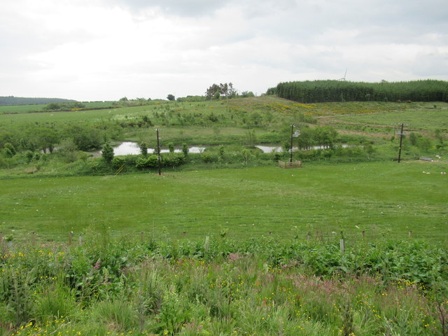
Image: © ian shiell Taken: 12 Jun 2018
There is a pair of wind turbines at this location but unmarked on the maps as is the power line near the pond.
Images are licensed for reuse under creativecommons.org/licenses/by-sa/2.0
Image Location
Latitude
56.801401
Longitude
-2.440603