Houses on Dock Road
Introduction
The photograph on this page of Houses on Dock Road by Christine Johnstone as part of the Geograph project.
The Geograph project started in 2005 with the aim of publishing, organising and preserving representative images for every square kilometre of Great Britain, Ireland and the Isle of Man.

There are currently over 7.5m images from over 14,400 individuals and you can help contribute to the project by visiting https://www.geograph.org.uk
Houses on Dock Road
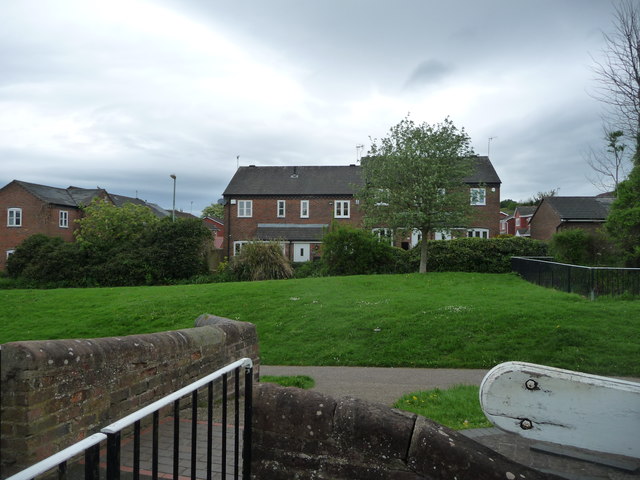
Image: © Christine Johnstone Taken: 8 May 2018
Alongside the 'Stourbridge 16' - a flight of 16 locks on the Stourbridge Canal.
Images are licensed for reuse under creativecommons.org/licenses/by-sa/2.0
Image Location


Leaflet Map data © OpenStreetMap
Latitude
52.477317
Longitude
-2.154697