Derelict cottage at the side of A90
Introduction
The photograph on this page of Derelict cottage at the side of A90 by Dominic Dawn Harry and Jacob Paterson as part of the Geograph project.
The Geograph project started in 2005 with the aim of publishing, organising and preserving representative images for every square kilometre of Great Britain, Ireland and the Isle of Man.

There are currently over 7.5m images from over 14,400 individuals and you can help contribute to the project by visiting https://www.geograph.org.uk
Derelict cottage at the side of A90
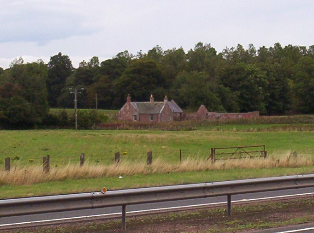
Image: © Dominic Dawn Harry and Jacob Paterson Taken: 26 Sep 2005
Image Image (photographed by Alan Morrison) shows that by January 2009, both the cottage and the roofless building to its right had been renovated.
Images are licensed for reuse under creativecommons.org/licenses/by-sa/2.0
Image Location


Leaflet Map data © OpenStreetMap
Latitude
56.721065
Longitude
-2.761711