East side of a railway bridge, Tir-y-berth
Introduction
The photograph on this page of East side of a railway bridge, Tir-y-berth by Jaggery as part of the Geograph project.
The Geograph project started in 2005 with the aim of publishing, organising and preserving representative images for every square kilometre of Great Britain, Ireland and the Isle of Man.

There are currently over 7.5m images from over 14,400 individuals and you can help contribute to the project by visiting https://www.geograph.org.uk
East side of a railway bridge, Tir-y-berth
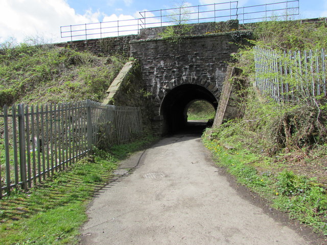
Image: © Jaggery Taken: 26 Apr 2018
The bridge carries the two-track Rhymney Line over a path/side road. The location is between Pengam station and Hengoed station. https://www.geograph.org.uk/photo/5805391 to the west side of the bridge.
Images are licensed for reuse under creativecommons.org/licenses/by-sa/2.0
Image Location
Latitude
51.660553
Longitude
-3.230988