Mottram Road, Alderley Edge
Introduction
The photograph on this page of Mottram Road, Alderley Edge by Stephen McKay as part of the Geograph project.
The Geograph project started in 2005 with the aim of publishing, organising and preserving representative images for every square kilometre of Great Britain, Ireland and the Isle of Man.

There are currently over 7.5m images from over 14,400 individuals and you can help contribute to the project by visiting https://www.geograph.org.uk
Mottram Road, Alderley Edge
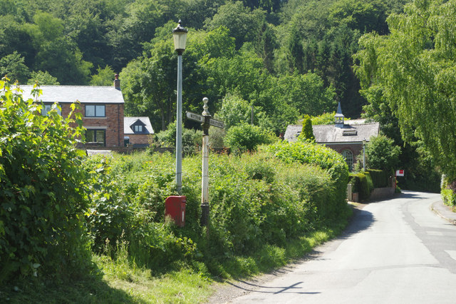
Image: © Stephen McKay Taken: 7 Jun 2018
Looking towards Alderley Edge town from the junction with Hough Lane. Note the vintage signpost (right for Alderley Edge, left for Mottram) and the former Hough Chapel with a for sale board outside.
Images are licensed for reuse under creativecommons.org/licenses/by-sa/2.0
Image Location
Latitude
53.301002
Longitude
-2.217532