Wall at Fullholding
Introduction
The photograph on this page of Wall at Fullholding by Graham Horn as part of the Geograph project.
The Geograph project started in 2005 with the aim of publishing, organising and preserving representative images for every square kilometre of Great Britain, Ireland and the Isle of Man.

There are currently over 7.5m images from over 14,400 individuals and you can help contribute to the project by visiting https://www.geograph.org.uk
Wall at Fullholding
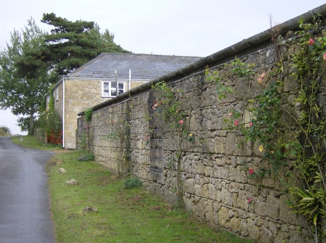
Image: © Graham Horn Taken: 30 Sep 2007
The lane climbs past Fullholding Farm, partly hidden behind its attractive wall. The stone work looks as though the blocks have been especially carved; alternatively it is very good quality craftsmanship.
Images are licensed for reuse under creativecommons.org/licenses/by-sa/2.0
Image Location
Latitude
50.691249
Longitude
-1.394874