The lane down to Stoney Middleton
Introduction
The photograph on this page of The lane down to Stoney Middleton by Roger Temple as part of the Geograph project.
The Geograph project started in 2005 with the aim of publishing, organising and preserving representative images for every square kilometre of Great Britain, Ireland and the Isle of Man.

There are currently over 7.5m images from over 14,400 individuals and you can help contribute to the project by visiting https://www.geograph.org.uk
The lane down to Stoney Middleton
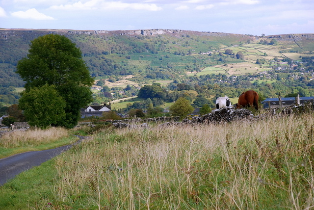
Image: © Roger Temple Taken: 17 Sep 2007
This lane descends steeply into the village. The views from up here are stunning with several Edges dominating the far skyline - Froggatt Edge, White Edge, Curbar Edge and Baslow Edge being the main ones.
Images are licensed for reuse under creativecommons.org/licenses/by-sa/2.0
Image Location


Leaflet Map data © OpenStreetMap
Latitude
53.273251
Longitude
-1.674413