A jumble of cottages/houses
Introduction
The photograph on this page of A jumble of cottages/houses by Chris Allen as part of the Geograph project.
The Geograph project started in 2005 with the aim of publishing, organising and preserving representative images for every square kilometre of Great Britain, Ireland and the Isle of Man.

There are currently over 7.5m images from over 14,400 individuals and you can help contribute to the project by visiting https://www.geograph.org.uk
A jumble of cottages/houses
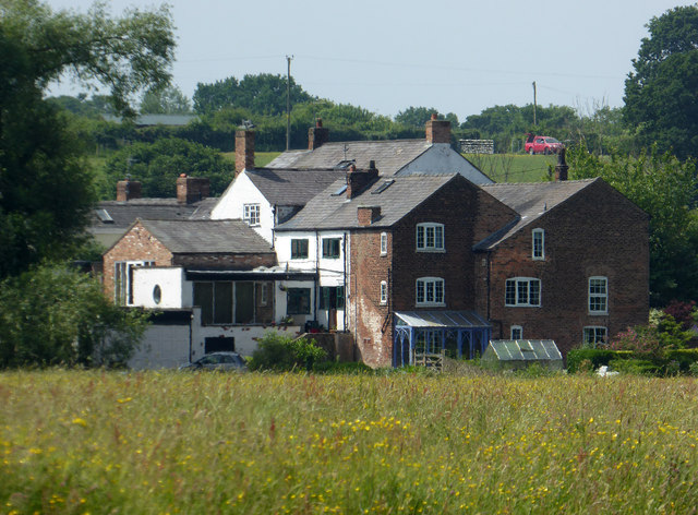
Image: © Chris Allen Taken: 10 Jun 2018
Seen from Pickering's Cut on the Weaver Navigation. The map does not provide a name for this small cluster of habitation. The aerial view shows a clear match.
Images are licensed for reuse under creativecommons.org/licenses/by-sa/2.0
Image Location
Latitude
53.280077
Longitude
-2.637963