Romsey Lakes
Introduction
The photograph on this page of Romsey Lakes by Keith Edkins as part of the Geograph project.
The Geograph project started in 2005 with the aim of publishing, organising and preserving representative images for every square kilometre of Great Britain, Ireland and the Isle of Man.

There are currently over 7.5m images from over 14,400 individuals and you can help contribute to the project by visiting https://www.geograph.org.uk
Romsey Lakes
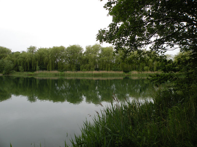
Image: © Keith Edkins Taken: 10 Jun 2018
These disused marl pits are normally private property of an angling club. There are plans to open them permanently to the public, and in the meantime there are occasional open days.
Images are licensed for reuse under creativecommons.org/licenses/by-sa/2.0
Image Location
Latitude
52.195158
Longitude
0.158945