Rough Close
Introduction
The photograph on this page of Rough Close by Linda Mellor as part of the Geograph project.
The Geograph project started in 2005 with the aim of publishing, organising and preserving representative images for every square kilometre of Great Britain, Ireland and the Isle of Man.

There are currently over 7.5m images from over 14,400 individuals and you can help contribute to the project by visiting https://www.geograph.org.uk
Rough Close
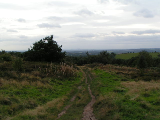
Image: © Linda Mellor Taken: 26 Sep 2005
Just visible (if you look VERY hard in a direct continuation from the path!) is The Wrekin, about 30 miles away
Images are licensed for reuse under creativecommons.org/licenses/by-sa/2.0
Image Location


Leaflet Map data © OpenStreetMap
Latitude
52.954623
Longitude
-2.111595