Four Lane Ends metro station
Introduction
The photograph on this page of Four Lane Ends metro station by Dr Neil Clifton as part of the Geograph project.
The Geograph project started in 2005 with the aim of publishing, organising and preserving representative images for every square kilometre of Great Britain, Ireland and the Isle of Man.

There are currently over 7.5m images from over 14,400 individuals and you can help contribute to the project by visiting https://www.geograph.org.uk
Four Lane Ends metro station
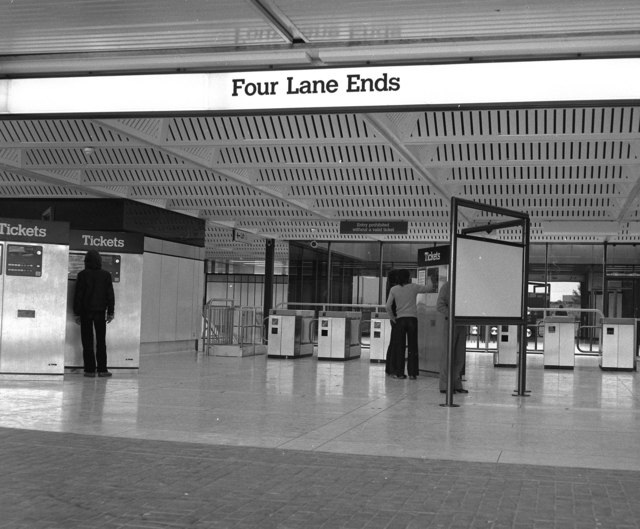
Image: © Dr Neil Clifton Taken: 10 Aug 1980
Most of the stations on the new Metro were converted from old British Rail stations, but Four Lane Ends was an entirely new station, built as a rail/bus interchange as part of the integrated transport system that was intended. Although the Metro opened on time the day after this photograph was taken, the Integrated Transport plan never happened, as it became a victim of Prime Minister Margaret Thatcher's devotion to privatisation, so now, instead of Metro and the buses co-ordinating and helping each other, they compete with each other.
Images are licensed for reuse under creativecommons.org/licenses/by-sa/2.0
Image Location
Latitude
55.009968
Longitude
-1.578263