Boddam village centre
Introduction
The photograph on this page of Boddam village centre by Bill Harrison as part of the Geograph project.
The Geograph project started in 2005 with the aim of publishing, organising and preserving representative images for every square kilometre of Great Britain, Ireland and the Isle of Man.

There are currently over 7.5m images from over 14,400 individuals and you can help contribute to the project by visiting https://www.geograph.org.uk
Boddam village centre
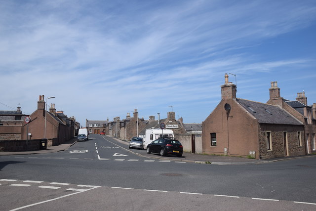
Image: © Bill Harrison Taken: 19 May 2018
Parts of Queen's Road to the left and right with Russell Street bisecting the angle between them and typical 19th Century fishermen's cottages made of brown granite from the adjacent Stirling Hill quarries lining them: 22 Queen's Road to the right of the photo is C-listed (LB16312): http://portal.historicenvironment.scot/designation/LB16312 .
Images are licensed for reuse under creativecommons.org/licenses/by-sa/2.0
Image Location
Latitude
57.470774
Longitude
-1.779246