The Metro east of Four Lane Ends
Introduction
The photograph on this page of The Metro east of Four Lane Ends by Dr Neil Clifton as part of the Geograph project.
The Geograph project started in 2005 with the aim of publishing, organising and preserving representative images for every square kilometre of Great Britain, Ireland and the Isle of Man.

There are currently over 7.5m images from over 14,400 individuals and you can help contribute to the project by visiting https://www.geograph.org.uk
The Metro east of Four Lane Ends
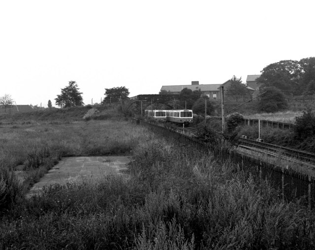
Image: © Dr Neil Clifton Taken: 10 Aug 1980
One day before schedules services on the Metro would begin, two cars pass beneath a bridge just east of Four Lane Ends.
Images are licensed for reuse under creativecommons.org/licenses/by-sa/2.0
Image Location
Latitude
55.011216
Longitude
-1.575435