Farm lane to Bowden
Introduction
The photograph on this page of Farm lane to Bowden by Derek Harper as part of the Geograph project.
The Geograph project started in 2005 with the aim of publishing, organising and preserving representative images for every square kilometre of Great Britain, Ireland and the Isle of Man.

There are currently over 7.5m images from over 14,400 individuals and you can help contribute to the project by visiting https://www.geograph.org.uk
Farm lane to Bowden
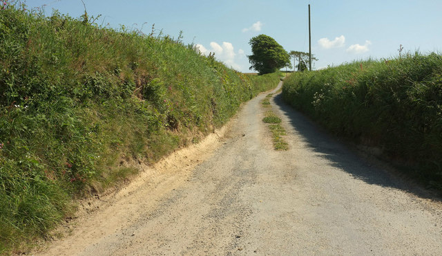
Image: © Derek Harper Taken: 23 May 2018
From where Image] was taken, looking right. The name "Bowden" occurs frequently among Devon farms. "Old English boga ‘bow’ + dun ‘hill’, i.e. ‘hill shaped like a bow’" according to https://www.ancestry.co.uk/name-origin?surname=bowden , though it suggests other possibilities as to derivation. The private farm track has nearly 500 metres to go to reach the farm in Image
Images are licensed for reuse under creativecommons.org/licenses/by-sa/2.0
Image Location
Latitude
50.94142
Longitude
-4.17085