Hop garden, Pedding Lane
Introduction
The photograph on this page of Hop garden, Pedding Lane by John Baker as part of the Geograph project.
The Geograph project started in 2005 with the aim of publishing, organising and preserving representative images for every square kilometre of Great Britain, Ireland and the Isle of Man.

There are currently over 7.5m images from over 14,400 individuals and you can help contribute to the project by visiting https://www.geograph.org.uk
Hop garden, Pedding Lane
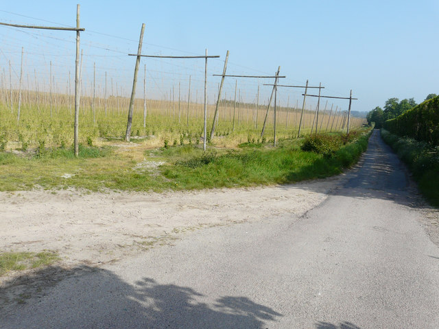
Image: © John Baker Taken: 20 May 2018
This image of Image shows the hop plants in July 2010. Pedding Lane serves as the access road to Great Pedding Farm as well as being a bridleway.
Images are licensed for reuse under creativecommons.org/licenses/by-sa/2.0
Image Location
Latitude
51.277729
Longitude
1.252239