Buildings seen across Inverkip Road
Introduction
The photograph on this page of Buildings seen across Inverkip Road by Lairich Rig as part of the Geograph project.
The Geograph project started in 2005 with the aim of publishing, organising and preserving representative images for every square kilometre of Great Britain, Ireland and the Isle of Man.

There are currently over 7.5m images from over 14,400 individuals and you can help contribute to the project by visiting https://www.geograph.org.uk
Buildings seen across Inverkip Road
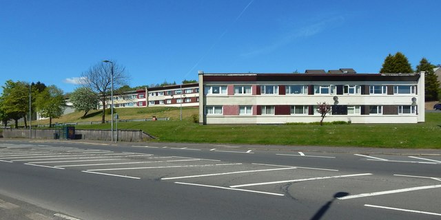
Image: © Lairich Rig Taken: 16 May 2018
The closest of the buildings is on the near side of Sutherland Road, while the similar ones behind it are between Sutherland Road and Neil Street.
Images are licensed for reuse under creativecommons.org/licenses/by-sa/2.0
Image Location
Latitude
55.941023
Longitude
-4.796532