Path to Buchanan Street
Introduction
The photograph on this page of Path to Buchanan Street by Lairich Rig as part of the Geograph project.
The Geograph project started in 2005 with the aim of publishing, organising and preserving representative images for every square kilometre of Great Britain, Ireland and the Isle of Man.

There are currently over 7.5m images from over 14,400 individuals and you can help contribute to the project by visiting https://www.geograph.org.uk
Path to Buchanan Street
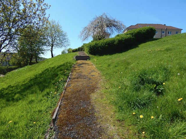
Image: © Lairich Rig Taken: 16 May 2018
This path branches off from the one shown in Image, and it does so at about the point from which both this picture and that one were taken, around a third of the way up the path from Rose Street to Bow Road.
Images are licensed for reuse under creativecommons.org/licenses/by-sa/2.0
Image Location
Latitude
55.944012
Longitude
-4.787618