Track from Tyncae to Esgair
Introduction
The photograph on this page of Track from Tyncae to Esgair by Peter Wood as part of the Geograph project.
The Geograph project started in 2005 with the aim of publishing, organising and preserving representative images for every square kilometre of Great Britain, Ireland and the Isle of Man.

There are currently over 7.5m images from over 14,400 individuals and you can help contribute to the project by visiting https://www.geograph.org.uk
Track from Tyncae to Esgair
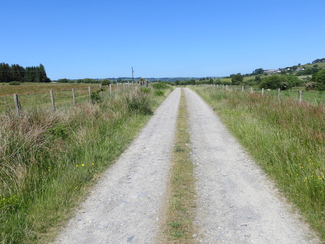
Image: © Peter Wood Taken: 7 Jun 2018
Looking north-westward. Track does not appear to be currently mapped but obvious on Google Earth.
Images are licensed for reuse under creativecommons.org/licenses/by-sa/2.0
Image Location
Latitude
52.271202
Longitude
-3.951369