A388 near Northdown
Introduction
The photograph on this page of A388 near Northdown by Derek Harper as part of the Geograph project.
The Geograph project started in 2005 with the aim of publishing, organising and preserving representative images for every square kilometre of Great Britain, Ireland and the Isle of Man.

There are currently over 7.5m images from over 14,400 individuals and you can help contribute to the project by visiting https://www.geograph.org.uk
A388 near Northdown
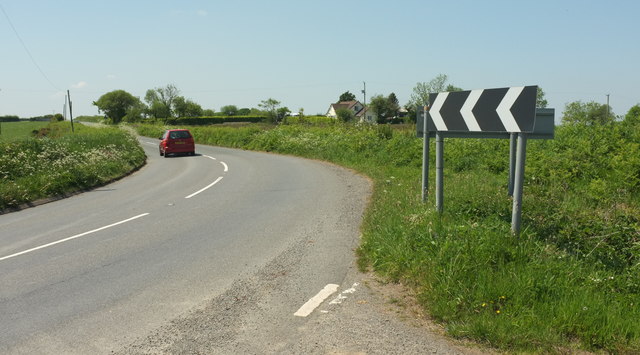
Image: © Derek Harper Taken: 23 May 2018
Looking in the other direction from Image], along the main road past Northdown on the right. The road runs for a kilometre above the 150 metre contour, with good views - see Image
Images are licensed for reuse under creativecommons.org/licenses/by-sa/2.0
Image Location
Latitude
50.912152
Longitude
-4.124107