Speccott Down Wood
Introduction
The photograph on this page of Speccott Down Wood by Derek Harper as part of the Geograph project.
The Geograph project started in 2005 with the aim of publishing, organising and preserving representative images for every square kilometre of Great Britain, Ireland and the Isle of Man.

There are currently over 7.5m images from over 14,400 individuals and you can help contribute to the project by visiting https://www.geograph.org.uk
Speccott Down Wood
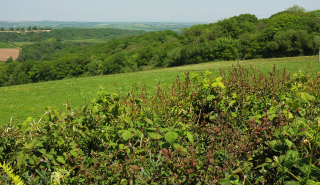
Image: © Derek Harper Taken: 23 May 2018
Looking right from where Image] was taken. The wood on the far side of the next valley is South Hole Copse.
Images are licensed for reuse under creativecommons.org/licenses/by-sa/2.0
Image Location
Latitude
50.912273
Longitude
-4.132221