The Firs
Introduction
The photograph on this page of The Firs by Ian Capper as part of the Geograph project.
The Geograph project started in 2005 with the aim of publishing, organising and preserving representative images for every square kilometre of Great Britain, Ireland and the Isle of Man.

There are currently over 7.5m images from over 14,400 individuals and you can help contribute to the project by visiting https://www.geograph.org.uk
The Firs
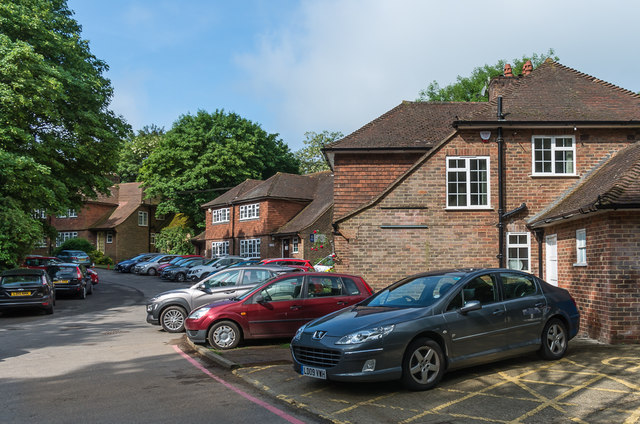
Image: © Ian Capper Taken: 1 Jun 2018
Housing at Mount Browne, the Surrey Police headquarters and training centre.
Images are licensed for reuse under creativecommons.org/licenses/by-sa/2.0
Image Location
Latitude
51.223333
Longitude
-0.586902