Road leaving Leicester Forest East Service Area
Introduction
The photograph on this page of Road leaving Leicester Forest East Service Area by Trevor Littlewood as part of the Geograph project.
The Geograph project started in 2005 with the aim of publishing, organising and preserving representative images for every square kilometre of Great Britain, Ireland and the Isle of Man.

There are currently over 7.5m images from over 14,400 individuals and you can help contribute to the project by visiting https://www.geograph.org.uk
Road leaving Leicester Forest East Service Area
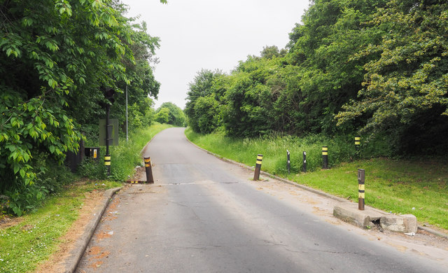
Image: © Trevor Littlewood Taken: 4 Jun 2018
According to OS mapping at 1:25 000, the road leaves Leicester Forest East Service Area (on the east side of the M1) heading north towards an apparently residential area. At the 1:50 000 scale however, the road is just not shown. At higher scales although there's some form of detail shown, there's no suggestion that there's a road on the ground.
Images are licensed for reuse under creativecommons.org/licenses/by-sa/2.0
Image Location
Latitude
52.621292
Longitude
-1.205689