Field north of Bath Road
Introduction
The photograph on this page of Field north of Bath Road by Marathon as part of the Geograph project.
The Geograph project started in 2005 with the aim of publishing, organising and preserving representative images for every square kilometre of Great Britain, Ireland and the Isle of Man.

There are currently over 7.5m images from over 14,400 individuals and you can help contribute to the project by visiting https://www.geograph.org.uk
Field north of Bath Road
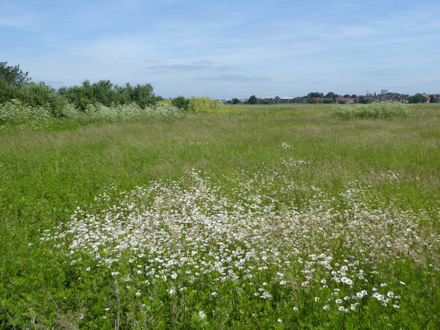
Image: © Marathon Taken: 6 Jun 2018
This field has somehow stayed clear of development. It is north of Bath Road but is not accessible - a closed footpath runs along its eastern side.
Images are licensed for reuse under creativecommons.org/licenses/by-sa/2.0
Image Location
Latitude
51.477873
Longitude
-0.399004