Junction, Monshall
Introduction
The photograph on this page of Junction, Monshall by Derek Harper as part of the Geograph project.
The Geograph project started in 2005 with the aim of publishing, organising and preserving representative images for every square kilometre of Great Britain, Ireland and the Isle of Man.

There are currently over 7.5m images from over 14,400 individuals and you can help contribute to the project by visiting https://www.geograph.org.uk
Junction, Monshall
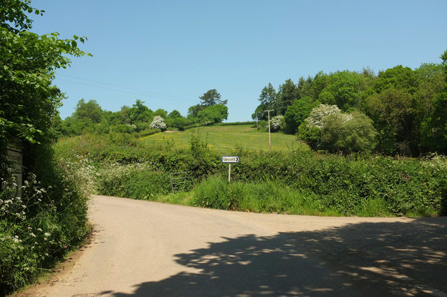
Image: © Derek Harper Taken: 23 May 2018
The lane from Iddesleigh to Dowland passes a turn on the right to Upcott. The sign on the left indicates that the main lane is the B3217 as shown on the 2009 map I was carrying, but the online map doesn't confirm this; perhaps that's why it's being allowed to become overgrown. See https://www.sabre-roads.org.uk/wiki/index.php/B3217 .
Images are licensed for reuse under creativecommons.org/licenses/by-sa/2.0
Image Location


Leaflet Map data © OpenStreetMap
Latitude
50.862206
Longitude
-4.035009