Field of maize, Linton-on-Ouse
Introduction
The photograph on this page of Field of maize, Linton-on-Ouse by Eirian Evans as part of the Geograph project.
The Geograph project started in 2005 with the aim of publishing, organising and preserving representative images for every square kilometre of Great Britain, Ireland and the Isle of Man.

There are currently over 7.5m images from over 14,400 individuals and you can help contribute to the project by visiting https://www.geograph.org.uk
Field of maize, Linton-on-Ouse
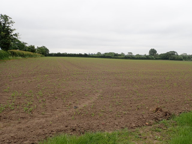
Image: © Eirian Evans Taken: 29 May 2018
A footpath runs along the edge of the field towards Linton Lock. In the far distance is the spire of All Saints' Church, Newton-on-Ouse.
Images are licensed for reuse under creativecommons.org/licenses/by-sa/2.0
Image Location
Latitude
54.038522
Longitude
-1.239547