Llwybr Coedog / Wooded Path
Introduction
The photograph on this page of Llwybr Coedog / Wooded Path by Alan Richards as part of the Geograph project.
The Geograph project started in 2005 with the aim of publishing, organising and preserving representative images for every square kilometre of Great Britain, Ireland and the Isle of Man.

There are currently over 7.5m images from over 14,400 individuals and you can help contribute to the project by visiting https://www.geograph.org.uk
Llwybr Coedog / Wooded Path
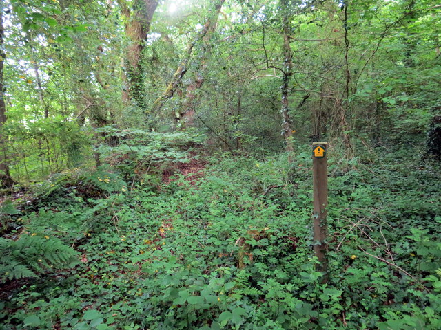
Image: © Alan Richards Taken: 4 Jun 2018
Llwybr cyhoeddus yn mynd i gyfeiriad Ty'r Eithin. Yn anffodus, mae'r llwybr mewn cyflwr gwael wedi blynyddau o esgeulstod. A public footpath heading in the direction of Ty'r Eithin (trans. gorse house). Unfortunately, the path is in a terrible state after years of neglect.
Images are licensed for reuse under creativecommons.org/licenses/by-sa/2.0
Image Location
Latitude
51.728671
Longitude
-4.261811