Looking down Victoria Street, Fraserburgh
Introduction
The photograph on this page of Looking down Victoria Street, Fraserburgh by Bill Harrison as part of the Geograph project.
The Geograph project started in 2005 with the aim of publishing, organising and preserving representative images for every square kilometre of Great Britain, Ireland and the Isle of Man.

There are currently over 7.5m images from over 14,400 individuals and you can help contribute to the project by visiting https://www.geograph.org.uk
Looking down Victoria Street, Fraserburgh
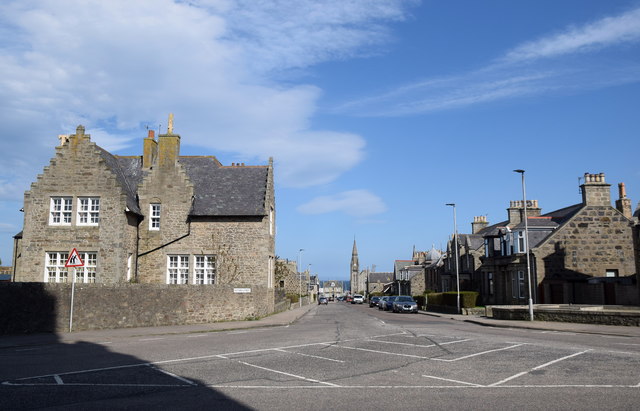
Image: © Bill Harrison Taken: 6 May 2018
In the left foreground, the B-listed (LB31904: http://portal.historicenvironment.scot/designation/LB31904 ) rectory for the episcopal church and in the distance the spectacular spire of Fraserburgh south church (originally the free kirk).
Images are licensed for reuse under creativecommons.org/licenses/by-sa/2.0
Image Location
Latitude
57.689956
Longitude
-2.009882