Hen bont reilfordd / Former railway bridge
Introduction
The photograph on this page of Hen bont reilfordd / Former railway bridge by Alan Richards as part of the Geograph project.
The Geograph project started in 2005 with the aim of publishing, organising and preserving representative images for every square kilometre of Great Britain, Ireland and the Isle of Man.

There are currently over 7.5m images from over 14,400 individuals and you can help contribute to the project by visiting https://www.geograph.org.uk
Hen bont reilfordd / Former railway bridge
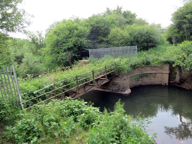
Image: © Alan Richards Taken: 4 Jun 2018
Hen bont Reilfordd Porth Tywyn a Gwendraeth Fawr yn rhychwantu Afon Gwendraeth Fawr The former Burry Port & Gwendraeth Railway crossing the Gwendraeth Fawr River.
Images are licensed for reuse under creativecommons.org/licenses/by-sa/2.0
Image Location
Latitude
51.74322
Longitude
-4.248776