Braemar Crescent Open Space plaque
Introduction
The photograph on this page of Braemar Crescent Open Space plaque by Richard Sutcliffe as part of the Geograph project.
The Geograph project started in 2005 with the aim of publishing, organising and preserving representative images for every square kilometre of Great Britain, Ireland and the Isle of Man.

There are currently over 7.5m images from over 14,400 individuals and you can help contribute to the project by visiting https://www.geograph.org.uk
Braemar Crescent Open Space plaque
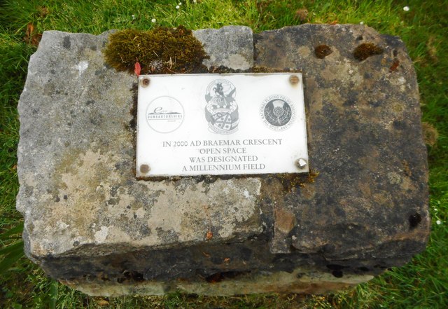
Image: © Richard Sutcliffe Taken: 1 Jun 2018
The plaque on top of a small stone plinth reads: IN 2000 AD BRAEMAR CRESCENT OPEN SPACE WAS DESIGNATED A MILLENNIUM FIELD The area it refers to is between Braemar Crescent and Switchback Road.
Images are licensed for reuse under creativecommons.org/licenses/by-sa/2.0
Image Location
Latitude
55.90859
Longitude
-4.324867