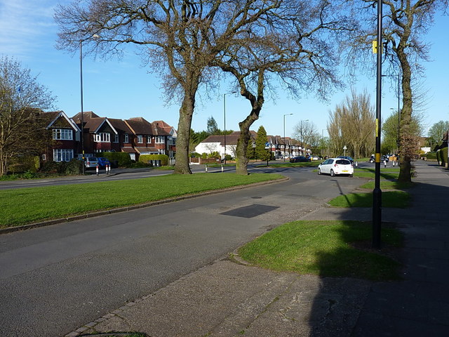
Junction of 'Old' Brook Lane with the newer road
Introduction
The photograph on this page of Junction of 'Old' Brook Lane with the newer road by Richard Law as part of the Geograph project.
The Geograph project started in 2005 with the aim of publishing, organising and preserving representative images for every square kilometre of Great Britain, Ireland and the Isle of Man.
There are currently over 7.5m images from over 14,400 individuals and you can help contribute to the project by visiting https://www.geograph.org.uk

Image: © Richard Law Taken: 18 Apr 2018
Brook Lane is the name given to both parts of the road around here. The white car is parked on what appears to be an older alignment of the lane, and the main thoroughfare is just to the left of the photo, i.e. with the houses fronting onto it. My guess is that the new road was put in, close to the original rural lane, to better serve the area when the houses were built in the late 1930s or early 1940s.

