Jogging up Varteg Road, Blaenavon
Introduction
The photograph on this page of Jogging up Varteg Road, Blaenavon by Jaggery as part of the Geograph project.
The Geograph project started in 2005 with the aim of publishing, organising and preserving representative images for every square kilometre of Great Britain, Ireland and the Isle of Man.

There are currently over 7.5m images from over 14,400 individuals and you can help contribute to the project by visiting https://www.geograph.org.uk
Jogging up Varteg Road, Blaenavon
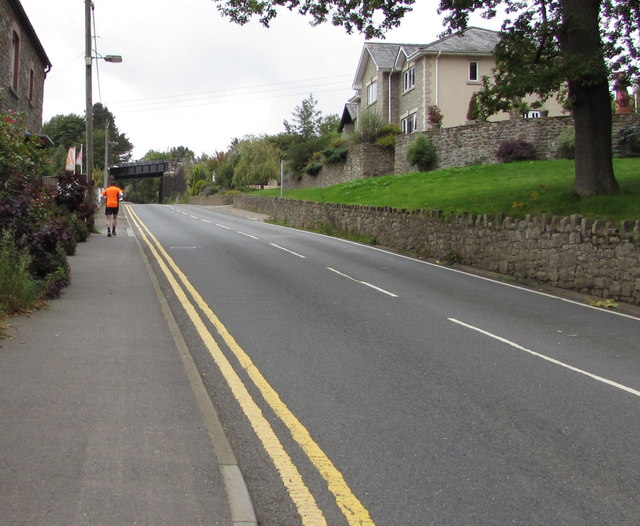
Image: © Jaggery Taken: 20 Sep 2015
Heading away from Blaenavon, a jogger ascends the pavement on the east side of the B4246 Varteg Road. A railway bridge https://www.geograph.org.uk/photo/5795349 is in the background.
Images are licensed for reuse under creativecommons.org/licenses/by-sa/2.0
Image Location
Latitude
51.768731
Longitude
-3.08408