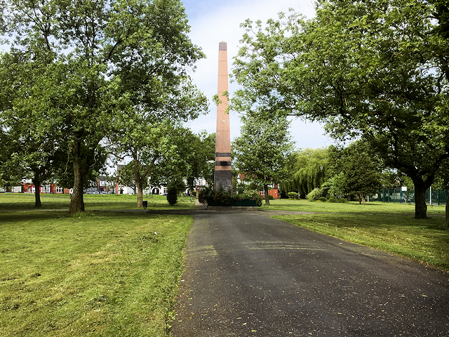
Obelisk/Clock Tower, Crumpsall Park
Introduction
The photograph on this page of Obelisk/Clock Tower, Crumpsall Park by David Dixon as part of the Geograph project.
The Geograph project started in 2005 with the aim of publishing, organising and preserving representative images for every square kilometre of Great Britain, Ireland and the Isle of Man.
There are currently over 7.5m images from over 14,400 individuals and you can help contribute to the project by visiting https://www.geograph.org.uk

Image: © David Dixon Taken: 26 May 2018
Once the site and grounds of Crumpsall Hall, Crumpsall Park is one of the city's oldest municipal parks. The land was originally intended for use as a cemetery, this idea was abandoned and in 1890 and the plot was made into a recreational park as part of the shift towards providing open space for the purposes of leisure and sport in Manchester. The park retains its formal layout with lawns and areas of formally mown amenity grassland, specimen and avenue trees. According to http://www.manchester.gov.uk/info/200073/parks_and_open_spaces/1822/crumpsall_park/1 Manchester City Council, “Crumpsall Park offers a green oasis in a densely populated area and is a focal point for the community”.

