Canniesburn Square
Introduction
The photograph on this page of Canniesburn Square by Richard Sutcliffe as part of the Geograph project.
The Geograph project started in 2005 with the aim of publishing, organising and preserving representative images for every square kilometre of Great Britain, Ireland and the Isle of Man.

There are currently over 7.5m images from over 14,400 individuals and you can help contribute to the project by visiting https://www.geograph.org.uk
Canniesburn Square
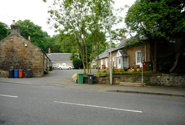
Image: © Richard Sutcliffe Taken: 1 Jun 2018
A small group of houses built beside Canniesburn Toll Roundabout and surrounded by two sections of Switchback Road. They are Category C listed [http://portal.historicenvironment.scot/designation/LB22149]
Images are licensed for reuse under creativecommons.org/licenses/by-sa/2.0
Image Location
Latitude
55.909509
Longitude
-4.323802