House on the west side of Chapel Ground, West Looe
Introduction
The photograph on this page of House on the west side of Chapel Ground, West Looe by Jaggery as part of the Geograph project.
The Geograph project started in 2005 with the aim of publishing, organising and preserving representative images for every square kilometre of Great Britain, Ireland and the Isle of Man.

There are currently over 7.5m images from over 14,400 individuals and you can help contribute to the project by visiting https://www.geograph.org.uk
House on the west side of Chapel Ground, West Looe
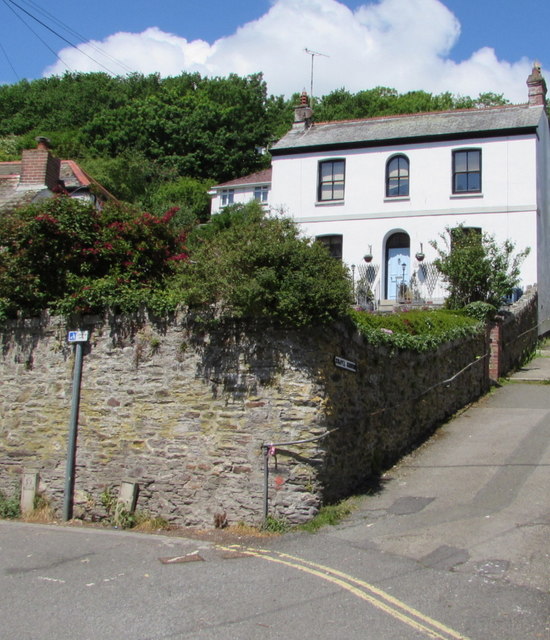
Image: © Jaggery Taken: 28 May 2018
Viewed from Fore Street. The house is on the left here. https://www.geograph.org.uk/photo/5793312
Images are licensed for reuse under creativecommons.org/licenses/by-sa/2.0
Image Location
Latitude
50.352797
Longitude
-4.458081