Up West Looe Hill, Looe
Introduction
The photograph on this page of Up West Looe Hill, Looe by Jaggery as part of the Geograph project.
The Geograph project started in 2005 with the aim of publishing, organising and preserving representative images for every square kilometre of Great Britain, Ireland and the Isle of Man.

There are currently over 7.5m images from over 14,400 individuals and you can help contribute to the project by visiting https://www.geograph.org.uk
Up West Looe Hill, Looe
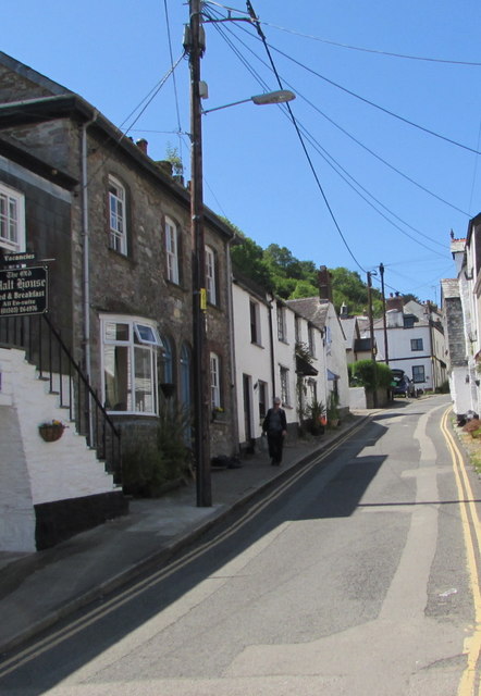
Image: © Jaggery Taken: 28 May 2018
Looking up West Looe Hill from near the corner of Downs View. Double yellow lines on both sides of West Looe Hill indicate no parking at any time. The Old Malt House https://www.geograph.org.uk/photo/5793323 is on the left.
Images are licensed for reuse under creativecommons.org/licenses/by-sa/2.0
Image Location
Latitude
50.352336
Longitude
-4.45862