Sipson Road
Introduction
The photograph on this page of Sipson Road by Derek Harper as part of the Geograph project.
The Geograph project started in 2005 with the aim of publishing, organising and preserving representative images for every square kilometre of Great Britain, Ireland and the Isle of Man.

There are currently over 7.5m images from over 14,400 individuals and you can help contribute to the project by visiting https://www.geograph.org.uk
Sipson Road
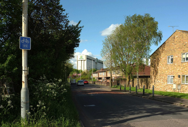
Image: © Derek Harper Taken: 26 Apr 2018
The A408 passing the northernmost housing in the village, on the right of the road, with the Holiday Inn looming large ahead, 300 metres from the camera. The number 89 cycle route sign refers to the London Cycle Network, which seems to lead from Heathrow to New Soutgtae.
Images are licensed for reuse under creativecommons.org/licenses/by-sa/2.0
Image Location
Latitude
51.492057
Longitude
-0.457567