Henbrook Gardens Development, Weston Hall Road (2)
Introduction
The photograph on this page of Henbrook Gardens Development, Weston Hall Road (2) by Jeff Gogarty as part of the Geograph project.
The Geograph project started in 2005 with the aim of publishing, organising and preserving representative images for every square kilometre of Great Britain, Ireland and the Isle of Man.

There are currently over 7.5m images from over 14,400 individuals and you can help contribute to the project by visiting https://www.geograph.org.uk
Henbrook Gardens Development, Weston Hall Road (2)
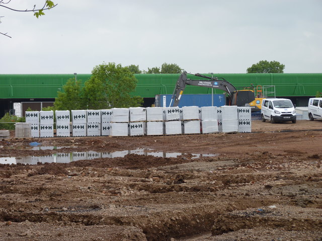
Image: © Jeff Gogarty Taken: 31 May 2018
Between the construction site and the green building is the Worcester & Birmingham Canal.
Images are licensed for reuse under creativecommons.org/licenses/by-sa/2.0
Image Location
Latitude
52.295789
Longitude
-2.082801