Wyrley & Essington Canal, looking south-east
Introduction
The photograph on this page of Wyrley & Essington Canal, looking south-east by Christine Johnstone as part of the Geograph project.
The Geograph project started in 2005 with the aim of publishing, organising and preserving representative images for every square kilometre of Great Britain, Ireland and the Isle of Man.

There are currently over 7.5m images from over 14,400 individuals and you can help contribute to the project by visiting https://www.geograph.org.uk
Wyrley & Essington Canal, looking south-east
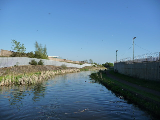
Image: © Christine Johnstone Taken: 6 May 2018
Between Brick Kiln Bridge and Wall End Bridge. That's not dirt on the lens but willow fluff [seeds] drifting in the air.
Images are licensed for reuse under creativecommons.org/licenses/by-sa/2.0
Image Location
Latitude
52.610827
Longitude
-2.013396