Bridford from the south
Introduction
The photograph on this page of Bridford from the south by Derek Harper as part of the Geograph project.
The Geograph project started in 2005 with the aim of publishing, organising and preserving representative images for every square kilometre of Great Britain, Ireland and the Isle of Man.

There are currently over 7.5m images from over 14,400 individuals and you can help contribute to the project by visiting https://www.geograph.org.uk
Bridford from the south
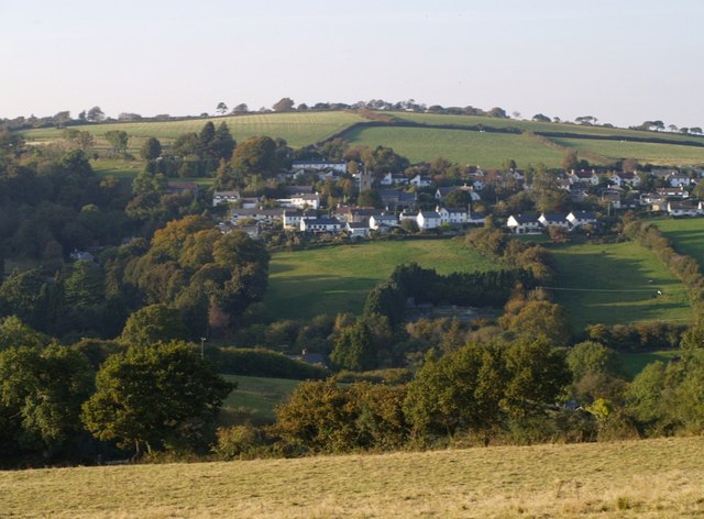
Image: © Derek Harper Taken: 5 Oct 2007
The village is on the northern slopes of the Rookery Brook valley. Seen here from Bridford Footpath 24, from the same spot as Image
Images are licensed for reuse under creativecommons.org/licenses/by-sa/2.0
Image Location
Latitude
50.664297
Longitude
-3.676641