Retaining wall for new housing development
Introduction
The photograph on this page of Retaining wall for new housing development by derek dye as part of the Geograph project.
The Geograph project started in 2005 with the aim of publishing, organising and preserving representative images for every square kilometre of Great Britain, Ireland and the Isle of Man.

There are currently over 7.5m images from over 14,400 individuals and you can help contribute to the project by visiting https://www.geograph.org.uk
Retaining wall for new housing development
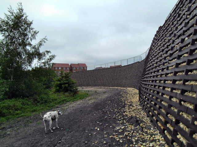
Image: © derek dye Taken: 29 May 2018
New houses being built atop a huge retaining wall on what was an old sewage works and colliery spoil heap from Glasshoughton colliery at Cutsyke.
Images are licensed for reuse under creativecommons.org/licenses/by-sa/2.0
Image Location
Latitude
53.70898
Longitude
-1.35549