Hadrian's Wall Long-distance Path
Introduction
The photograph on this page of Hadrian's Wall Long-distance Path by Anne Burgess as part of the Geograph project.
The Geograph project started in 2005 with the aim of publishing, organising and preserving representative images for every square kilometre of Great Britain, Ireland and the Isle of Man.

There are currently over 7.5m images from over 14,400 individuals and you can help contribute to the project by visiting https://www.geograph.org.uk
Hadrian's Wall Long-distance Path
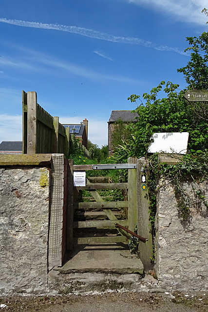
Image: © Anne Burgess Taken: 7 May 2018
You could be forgiven for needing more than one attempt to find the continuation of the path if you have come in from the east, as it isn't exactly conspicuous.
Images are licensed for reuse under creativecommons.org/licenses/by-sa/2.0
Image Location
Latitude
54.912516
Longitude
-2.986578