Harvest near Burrows Cross
Introduction
The photograph on this page of Harvest near Burrows Cross by Colin Smith as part of the Geograph project.
The Geograph project started in 2005 with the aim of publishing, organising and preserving representative images for every square kilometre of Great Britain, Ireland and the Isle of Man.

There are currently over 7.5m images from over 14,400 individuals and you can help contribute to the project by visiting https://www.geograph.org.uk
Harvest near Burrows Cross
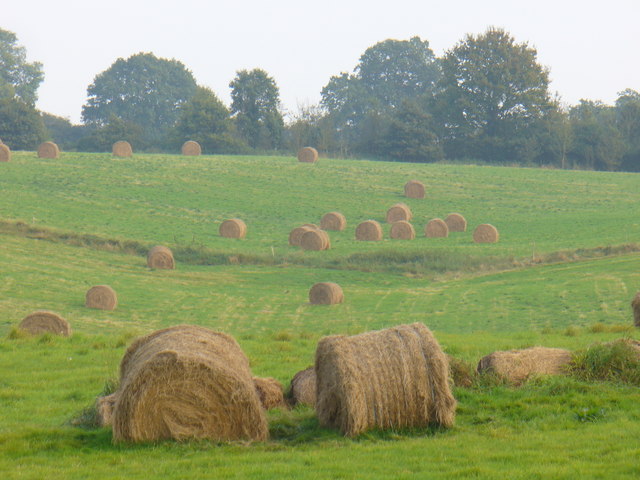
Image: © Colin Smith Taken: 7 Oct 2007
Hay bales in a dry valley south of Gomshall - above the Tilling Bourne.
Images are licensed for reuse under creativecommons.org/licenses/by-sa/2.0
Image Location
Latitude
51.208716
Longitude
-0.444718