The Med Burn
Introduction
The photograph on this page of The Med Burn by Graham Robson as part of the Geograph project.
The Geograph project started in 2005 with the aim of publishing, organising and preserving representative images for every square kilometre of Great Britain, Ireland and the Isle of Man.

There are currently over 7.5m images from over 14,400 individuals and you can help contribute to the project by visiting https://www.geograph.org.uk
The Med Burn
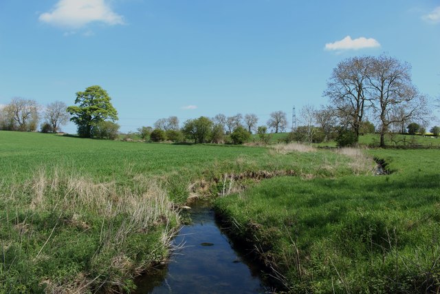
Image: © Graham Robson Taken: 6 May 2018
Looking downstream along the Med Burn east of the farm at Kyloe House. An autumn sown cereal crop is growing on the arable land on the left hand side of the stream. The area on the right of the stream is grass.
Images are licensed for reuse under creativecommons.org/licenses/by-sa/2.0
Image Location
Latitude
55.026841
Longitude
-1.828213