79 High Street Forres
Introduction
The photograph on this page of 79 High Street Forres by valenta as part of the Geograph project.
The Geograph project started in 2005 with the aim of publishing, organising and preserving representative images for every square kilometre of Great Britain, Ireland and the Isle of Man.

There are currently over 7.5m images from over 14,400 individuals and you can help contribute to the project by visiting https://www.geograph.org.uk
79 High Street Forres
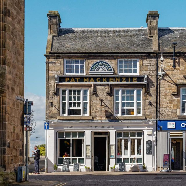
Image: © valenta Taken: 20 Apr 2018
Category C listed and dating from 1830-40, now a cafe bar, the building supports a fine sign above the first-floor windows indicating its former use as an ironmonger https://www.britishlistedbuildings.co.uk/200372942-73-75-77-and-79-high-street-forres#.Ww0tmYoh1aQ
Images are licensed for reuse under creativecommons.org/licenses/by-sa/2.0
Image Location
Latitude
57.610139
Longitude
-3.613076