A386 at Broadmead
Introduction
The photograph on this page of A386 at Broadmead by Derek Harper as part of the Geograph project.
The Geograph project started in 2005 with the aim of publishing, organising and preserving representative images for every square kilometre of Great Britain, Ireland and the Isle of Man.

There are currently over 7.5m images from over 14,400 individuals and you can help contribute to the project by visiting https://www.geograph.org.uk
A386 at Broadmead
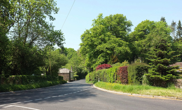
Image: © Derek Harper Taken: 23 May 2018
Looking left from the Tarka Trail at the same point as Image The trail follows the main road for over 350 metres, but in the other direction.
Images are licensed for reuse under creativecommons.org/licenses/by-sa/2.0
Image Location
Latitude
50.874309
Longitude
-4.078037