Lane near Gulwell
Introduction
The photograph on this page of Lane near Gulwell by Derek Harper as part of the Geograph project.
The Geograph project started in 2005 with the aim of publishing, organising and preserving representative images for every square kilometre of Great Britain, Ireland and the Isle of Man.

There are currently over 7.5m images from over 14,400 individuals and you can help contribute to the project by visiting https://www.geograph.org.uk
Lane near Gulwell
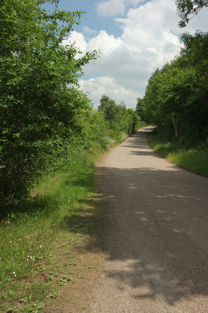
Image: © Derek Harper Taken: 28 May 2018
The A38 dual carriageway, or at least the slipway leading west onto it from the Peartree junction, is a mere 20 metres away to the left. This lane from Pridhamsleigh climbs to meet the junction at Cabbage Hill.
Images are licensed for reuse under creativecommons.org/licenses/by-sa/2.0
Image Location
Latitude
50.506615
Longitude
-3.763423