The Pots and Pans to West Yorkshire
Introduction
The photograph on this page of The Pots and Pans to West Yorkshire by Carroll Pierce as part of the Geograph project.
The Geograph project started in 2005 with the aim of publishing, organising and preserving representative images for every square kilometre of Great Britain, Ireland and the Isle of Man.

There are currently over 7.5m images from over 14,400 individuals and you can help contribute to the project by visiting https://www.geograph.org.uk
The Pots and Pans to West Yorkshire
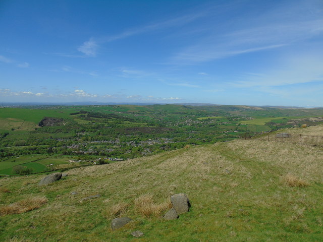
Image: © Carroll Pierce Taken: 13 May 2018
Taken at the top of the climb up from Rye Top Lane and Knowl Top Lane, Uppermill, Saddleworth, Greater Manchester, I am looking north west across Uppermill to Delph. The moors of Rossendale, Rochdale and West Yorkshire range across the horizon beyond.
Images are licensed for reuse under creativecommons.org/licenses/by-sa/2.0
Image Location
Latitude
53.549104
Longitude
-1.996189