The stream along Church Road
Introduction
The photograph on this page of The stream along Church Road by Neil Owen as part of the Geograph project.
The Geograph project started in 2005 with the aim of publishing, organising and preserving representative images for every square kilometre of Great Britain, Ireland and the Isle of Man.

There are currently over 7.5m images from over 14,400 individuals and you can help contribute to the project by visiting https://www.geograph.org.uk
The stream along Church Road
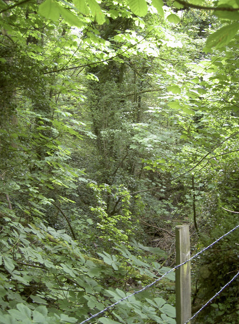
Image: © Neil Owen Taken: 18 May 2018
Deep in the lush undergrowth, the stream runs down past The Rookery and off to meet the River Chew near Upper Stanton Drew.
Images are licensed for reuse under creativecommons.org/licenses/by-sa/2.0
Image Location
Latitude
51.382003
Longitude
-2.575578